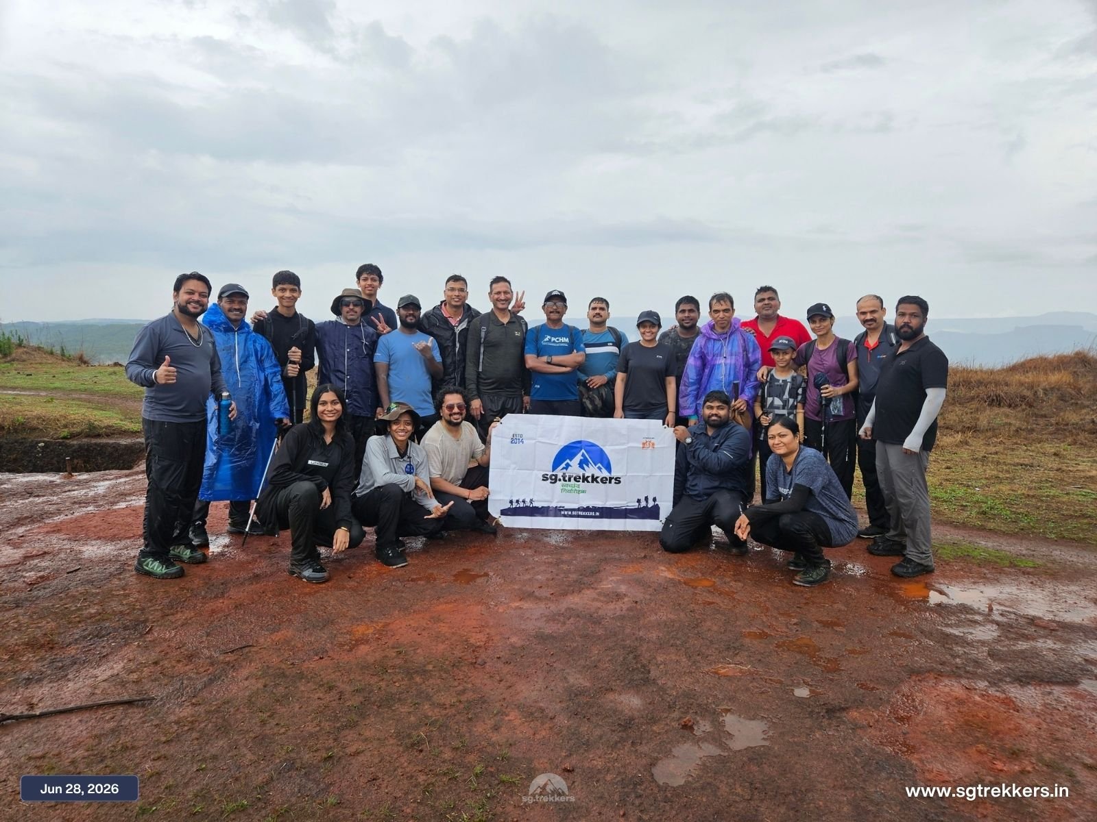
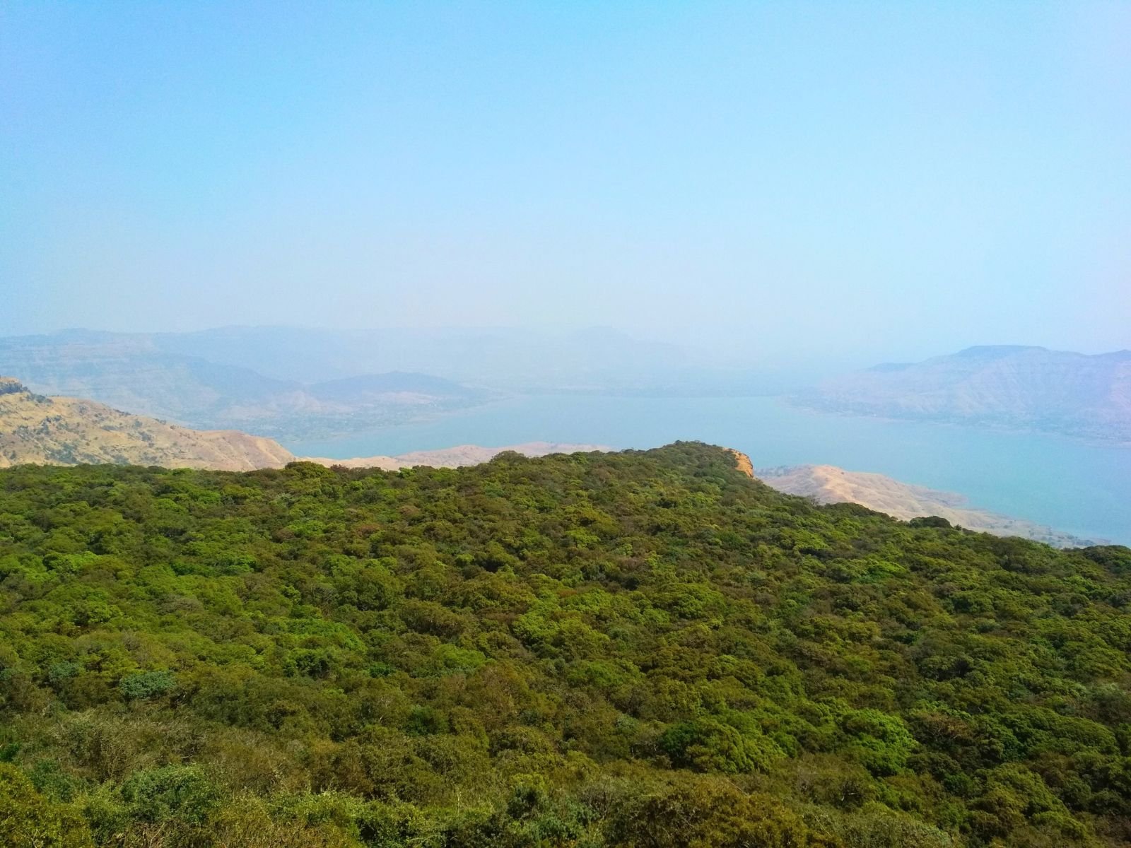
Kamalgad Fort rises to 4,511 feet, about ten miles west of Wai in Satara district. It is one of the highest hill forts in the Wai region, yet it stays quiet. The trek gives you scrub forest, open meadows, a red stone shaft, and a summit view over the blue backwaters of Dhom Dam, with far fewer crowds than the better-known forts nearby.
The fort sits on a hill that divides the head of the Krishna River valley. The Walki River basin lies to the north, and the Krishna basin to the south, and the two streams meet at its eastern base. It is part of the Wai hills, a cluster of 14 hills of which five, including Kamalgad, Pandavgad, and Kenjalgad, carry forts.
Three footpaths lead to the top: from Aakoshi/Asgaon in the east, Vasole in the north, and Nandgane in the south. From Pune, Nandgane is about 110 km away, roughly a 3-4 hour drive via Wai. Much of the road runs along the Dhom Dam backwaters.
The most popular route starts at Nandgane, and it is a trek with changing scenery.
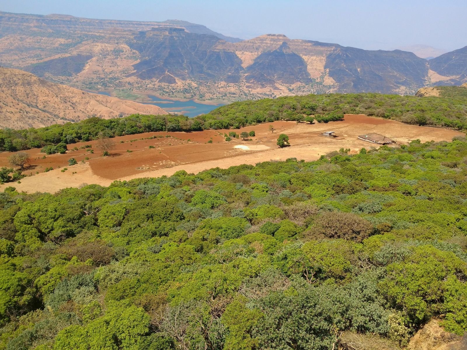
Nandgane to the ridge. The trek begins with a gradual climb through the village houses and farms, then up a narrow red-soil spur with green meadows on both sides. Around the 1.8 km mark, a viewpoint offers views of half the Dhom reservoir below and the flat-topped fort ahead.
The ridge walk to Gorakshnath Temple. The trail climbs through dense jambul and pisa forest. About 300 m in, the trail from Vasole village joins the one from Nandgane. The ridge ends at the Gorakshnath Temple, a renovated shrine dating back to the 1800s.
The forest plateau and Dhangar settlement. Past the temple, you walk through the forest with small natural water holes, then reach a clearing with thatched huts and grazing cattle. This is home to a Dhangar family, one of the region’s oldest communities. You can ask about their ghee-making and have fresh buttermilk.
The final ascent. Beyond the settlement, a short walk through scrub forest leads to a staircase cut into the stone, then an iron ladder up to the roof of the fort.
Tech Info.