A quiet Sahyadri summit of forest trails, a red stone shaft, and sweeping Dhom Dam views.
Kamalgad Fort • 4,511 ft • Wai, Satara
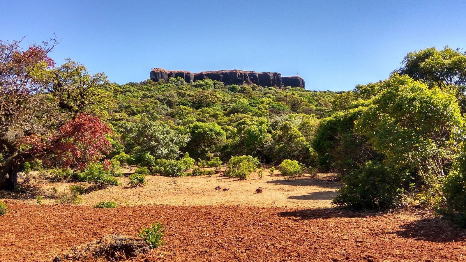
The fort sits on a hill that divides the head of the Krishna River valley. The Walki River basin lies to the north, and the Krishna basin to the south, and the two streams meet at its eastern base. It is part of the Wai hills, a cluster of 14 hills of which five, including Kamalgad, Pandavgad, and Kenjalgad, carry forts.
Three footpaths lead to the top: from Aakoshi/Asgaon in the east, Vasole in the north, and Nandgane in the south. From Pune, Nandgane is about 110 km away, roughly a 3-4 hour drive via Wai. Much of the road runs along the Dhom Dam backwaters.
The most popular route starts at Nandgane, and it is a trek with changing scenery.
STEP 01
Nandgane to the ridge
The trek begins with a gradual climb through the village houses and farms, then up a narrow red-soil spur with green meadows on both sides. Around the 1.8 km mark, a viewpoint offers views of half of the Dhom reservoir below and the flat-topped fort ahead.
STEP 02
The ridge walk to Gorakshnath Temple
The trail climbs through dense jambul and pisa forest. About 300 m in, the trail from Vasole village joins the one from Nandgane. The ridge ends at the Gorakshnath Temple, a renovated shrine dating back to the 1800s.
STEP 03
The forest plateau and Dhangar settlement
Past the temple, you walk through the forest with small natural water holes, then reach a clearing with thatched huts and grazing cattle. This is home to a Dhangar family, one of the region’s oldest communities. You can ask about their ghee-making and have fresh buttermilk.
STEP 04
The final ascent
Beyond the settlement, a short walk through scrub forest leads to a staircase cut into the stone, then an iron ladder up to the roof of the fort.
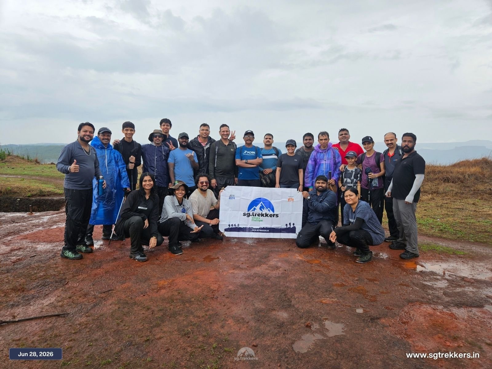
The summit is a flat area of only three or four acres, surrounded by a low scarp. There are no remains of buildings, walls, or a gateway, so the fort’s appeal is its setting rather than its ruins.
The Red Stone (Geru) Shaft
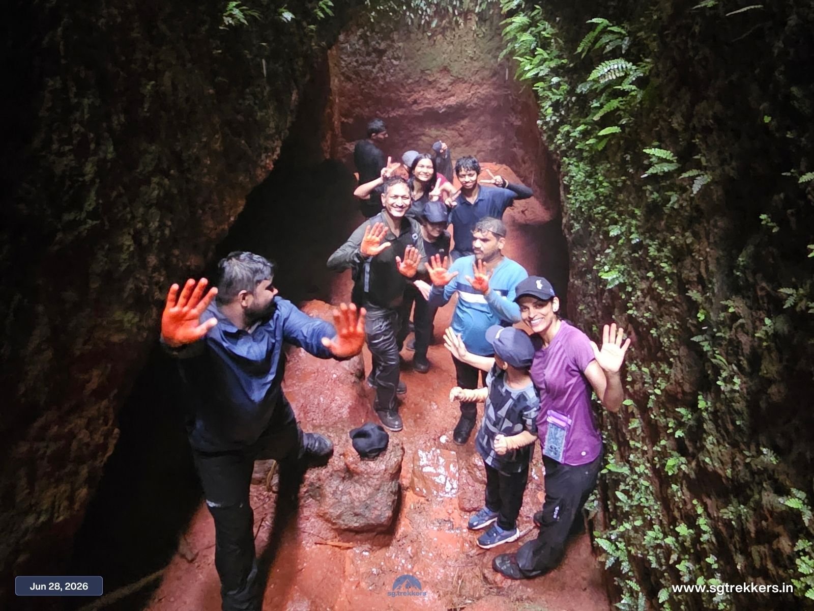
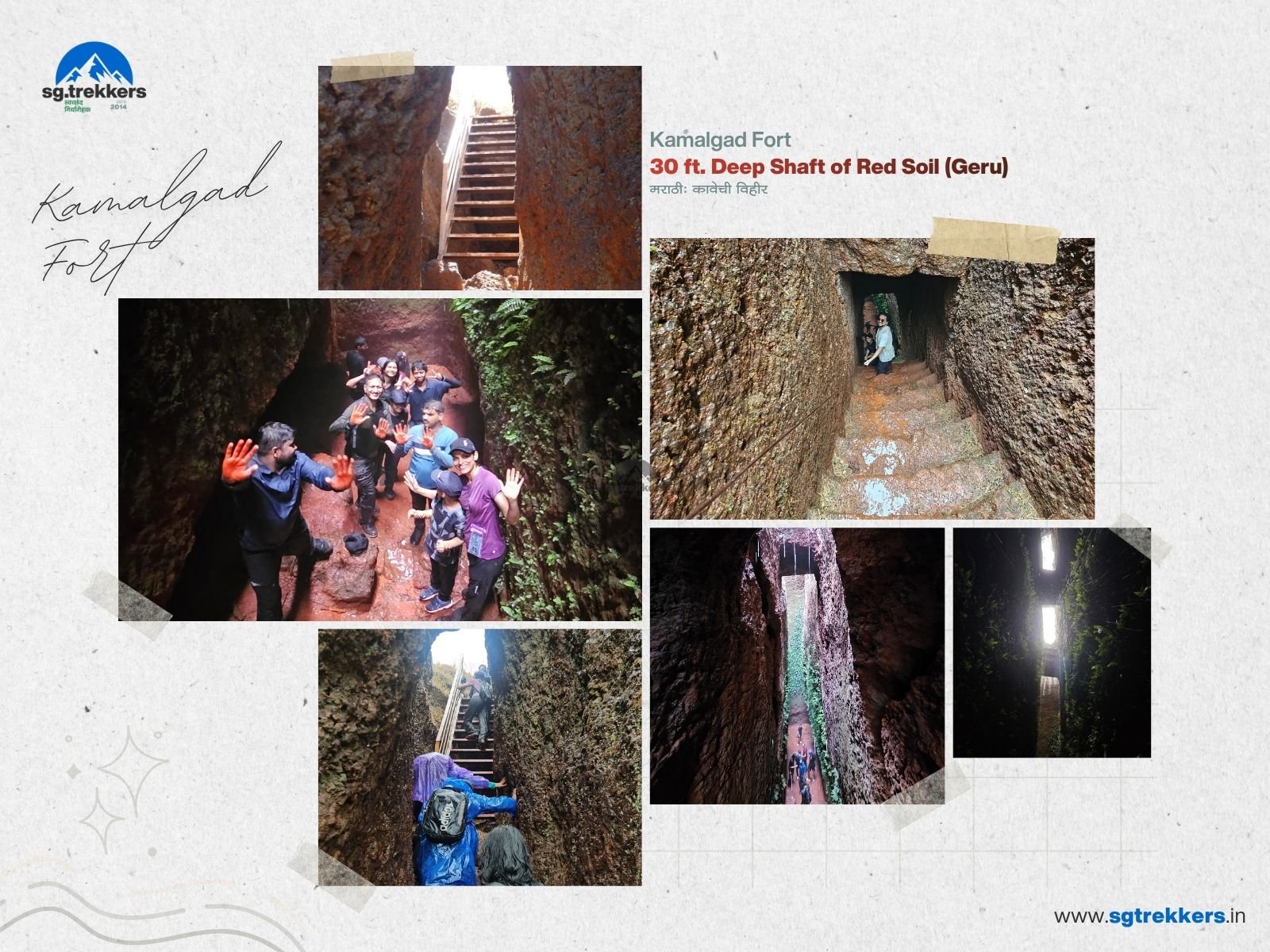
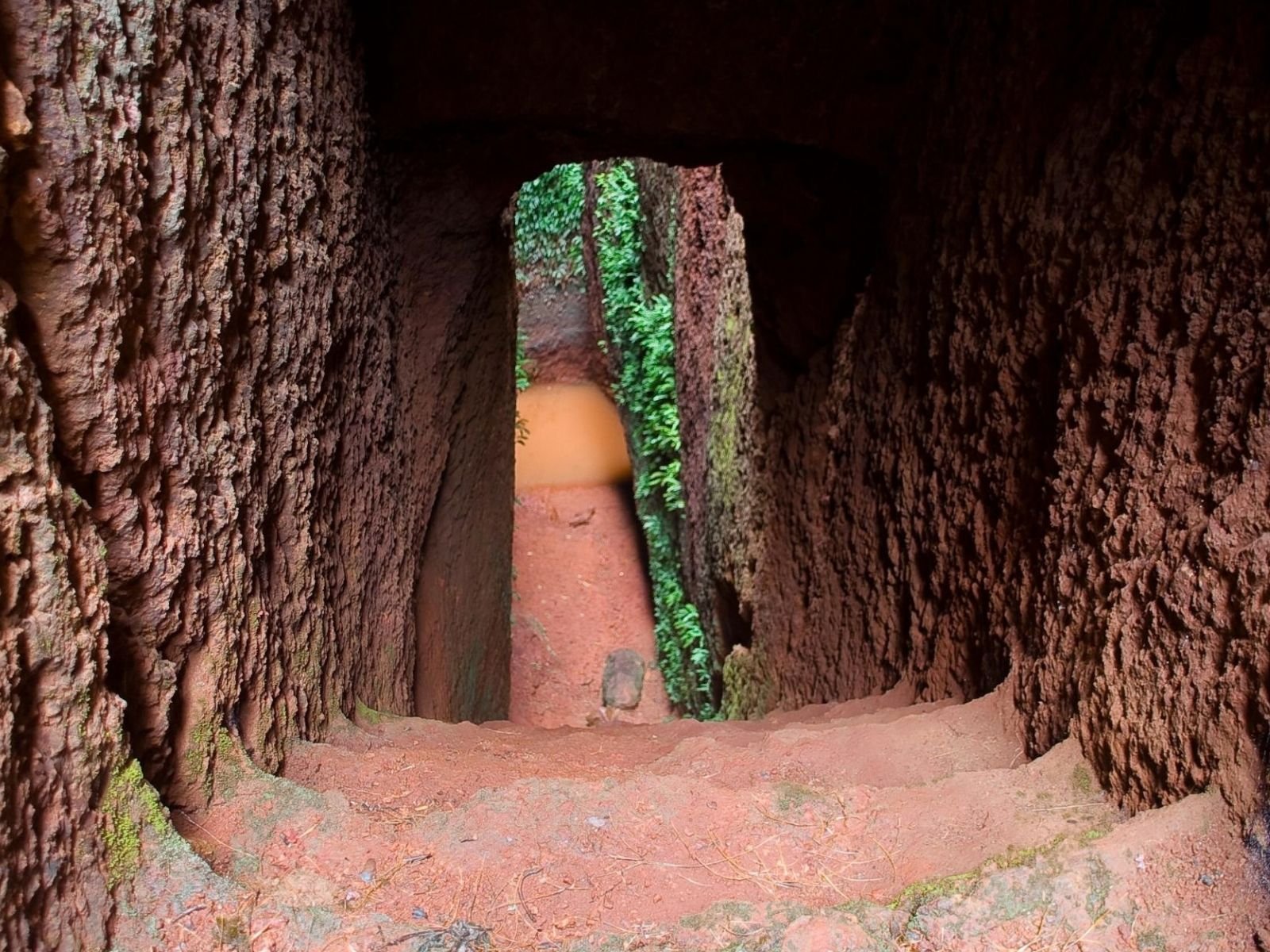
Locally called the Kavechi Vihir, this deep shaft in the rock is the star attraction. Some say it was a well that has silted up. Others say it was a quarry for Geru, the red stone found across this region, whose mud settled at the base and was used locally for its medicinal qualities.
The Blocked Tunnel
Long ago, the only way up was an artificial tunnel from the base of the scarp to the summit. A large boulder has since fallen into it. Locals also tell of a hidden tunnel linking Kamalgad to Raireshwar Fort.
The Views
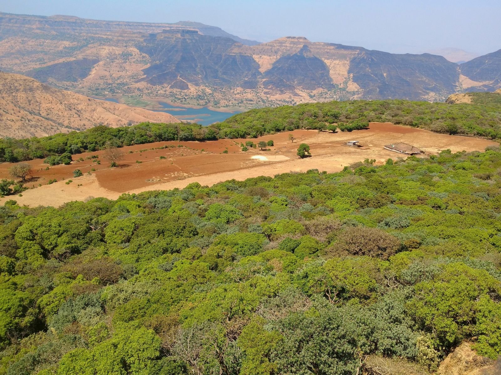
From the roof, you can see the Dhom Dam backwaters and the highlands of Mahabaleshwar, Panchgani, and Koleshwar, all above a dense forest that surrounds the plateau.
Detailed Journey Plan & Timeline

Tech Info.
Kamalgad packs a lot into one day: meadows, forest, a red rock shaft, local culture, and a view of Dhom Dam from the top. It is an offbeat trek for anyone who wants a real day in the Sahyadris without the crowds.
Ready to go? Join SG-Trekkers for a one-day Kamalgad Fort trek from Pune.
Written by: Team SG-Trekkers